The Guadalupe River is one of the most-loved rivers in Texas — and one of the most-Googled. Before your first float, here's everything you've probably wondered: where it starts, how long it is, how deep, whether there are alligators (spoiler: no — not where you'll be tubing), and why the New Braunfels stretch is the best in the state for families.
Where is the Guadalupe River?
The Guadalupe River runs through south-central Texas, flowing roughly southeast from the Texas Hill Country to the Gulf Coast. It passes through Kerrville, Comfort, Canyon Lake, New Braunfels, Seguin, Gonzales, Cuero, and Victoria before emptying into San Antonio Bay.
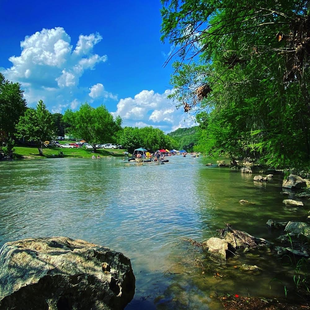
The stretch most visitors care about — the cool, spring-fed, family-friendly tubing water — runs between Canyon Lake and New Braunfels along the legendary River Road corridor.
Where Does the Guadalupe River Start and End?
The river starts in western Kerr County, where its North and South Forks meet near the town of Hunt, Texas. From the headwaters it travels about 230 miles southeast and ends at San Antonio Bay on the Gulf of Mexico — making it one of the longest rivers entirely within the state.
How Long Is the Guadalupe River?
Roughly 230 miles from headwaters to the Gulf. But the part you'll actually float? The tubing stretch between Canyon Lake and New Braunfels is about 25 miles long, and most family floats cover just 1–3 miles of it on a relaxed afternoon.
How Deep Is the Guadalupe River?
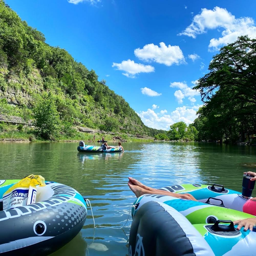
Depth varies by stretch. On the popular tubing section near New Braunfels, the river is generally 2 to 5 feet deep, with the occasional deeper pool up to 10 feet around bends and below small falls. Below Canyon Dam and farther downstream you'll find deeper holes used for fishing and kayaking.
That shallow, predictable depth is exactly why the New Braunfels stretch is so family-friendly for tubing with kids.
Are There Alligators in the Guadalupe River?
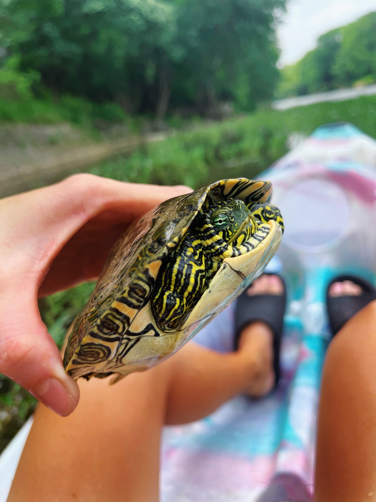
No — not in the tubing section. Alligators live in the lower Guadalupe and the estuary near the Gulf Coast, hundreds of miles downstream of New Braunfels. The Hill Country stretch where you'll float is clear, cool, spring-fed water. You'll see turtles, herons, perch, bass, and the occasional river otter — no gators.
Why Does the Guadalupe River Flood?
The Texas Hill Country has steep terrain, limestone bedrock, and thin soil — heavy rainfall runs off fast instead of soaking in. That can cause the Guadalupe to rise quickly during major storms. Canyon Dam, completed in 1964, regulates flow on the most-tubed stretch, which is part of why the New Braunfels section stays so reliably floatable through the summer.
For real-time flow before you go, check our Guadalupe River water levels & safety guide.
What Wildlife Will You See?
- Turtles sunning on rocks and logs
- Great blue herons and kingfishers fishing the shallows
- Largemouth and Guadalupe bass (the official state fish)
- Sunfish, perch, and catfish
- Occasional river otters at dawn and dusk
- Deer and the occasional fox along the banks
Is the Water Clean?
Very. The upper and middle Guadalupe is spring-fed — clear enough to see your toes in most spots, and cool (around 70°F) even in August thanks to releases from the bottom of Canyon Lake.
The Best Stretch for Tubing
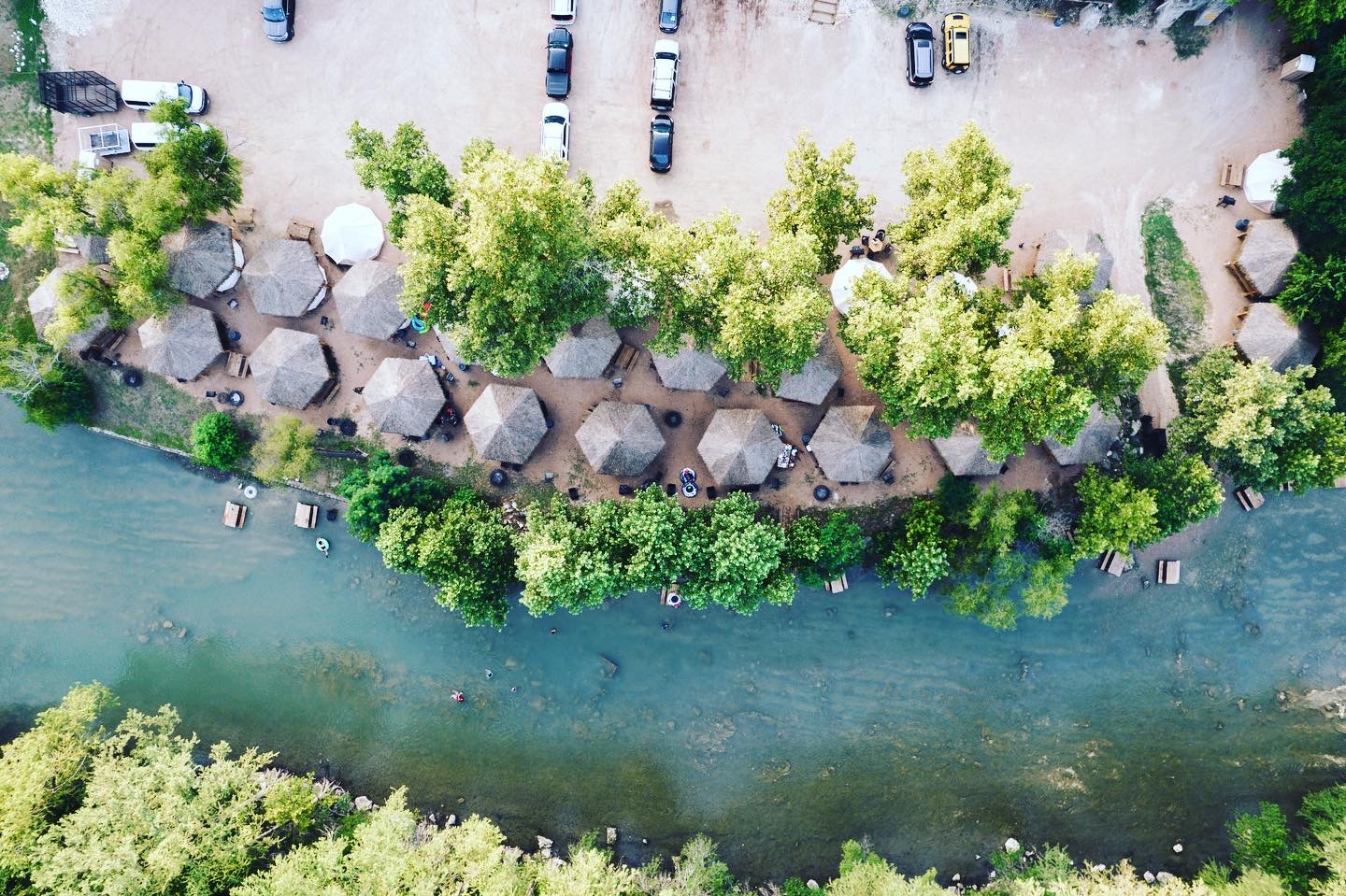
If you're picking one section to experience, make it the spring-fed run between Canyon Lake and New Braunfels — and ideally float it from a private river park instead of a public access point. That's what we do at Son's Guadalupe: private river frontage, shaded cabanas as your basecamp, tube rentals, parking, and an easy walk to the water.
See the best time to tube the Guadalupe for a month-by-month breakdown of crowds, flow, and weather.
Guadalupe River FAQs
Where is the Guadalupe River?
The Guadalupe River runs through south-central Texas, flowing roughly southeast from the Texas Hill Country to the Gulf Coast. Its most popular recreational stretch winds through New Braunfels and the surrounding River Road area — that's where most tubing, cabana rentals, and family floats happen.
Where does the Guadalupe River start and end?
The river begins in western Kerr County, Texas, where its North and South Forks meet near Hunt. From there it travels about 230 miles southeast through Kerrville, Comfort, New Braunfels, Seguin, Gonzales, Cuero, and Victoria before emptying into San Antonio Bay on the Gulf of Mexico.
How long is the Guadalupe River?
About 230 miles from its headwaters in the Hill Country to San Antonio Bay. The stretch tubers and cabana guests care about — the spring-fed section between Canyon Lake and New Braunfels — is roughly 25 miles long.
How deep is the Guadalupe River?
Depth varies dramatically. The tubing stretch near New Braunfels is generally 2 to 5 feet deep, with occasional pools up to 10 feet. Deeper holes exist below Canyon Dam and in stretches downstream. The shallow, predictable depth is exactly why the New Braunfels section is so family-friendly.
Are there alligators in the Guadalupe River?
Not in the tubing section. Alligators live in the lower river and estuary near the Gulf Coast — well downstream of New Braunfels. The Hill Country stretch where you'll be floating is clear, cool, spring-fed water with turtles, fish, and herons — no gators.
Why does the Guadalupe River flood?
The Texas Hill Country has steep terrain and thin soil. Heavy rain runs off fast, and the Guadalupe can rise quickly during storms. Canyon Dam, built in 1964, regulates flow on the most-tubed stretch, which is part of why this section is so reliably floatable in summer.
Is the Guadalupe River clean?
Yes — especially the upper/middle stretch near New Braunfels. The water is spring-fed, clear enough to see the bottom in most spots, and runs cool (around 70°F) even in August.